|
October 1 & 2, 2015
Dead Horse Point is situated atop a high plateau at an elevation of about 6,000 feet above sea level. From the point, a "layer cake" of geologic time may be viewed, revealing 300 million years of the earth's geologic history. While standing on the canyon rim, 8,000 feet of geologic strata is visible looking from the peaks of the 12.000 foot high La Sal Mountains to the river below. These rock layers were deposited over the eons by oceans, fresh water and wind as well as isolated igneous events. This is another one of those iconic scenes I had always wanted to photograph, and in particular at sunrise. Prior to doing this we visited the park the afternoon prior to search for a good spot to photograph the bend in the Colorado River that cuts through the canyons below. The next morning we walked in from the parking area well before dawn and I was pleased to be find "my spot" unoccupied. It didn't take long before I was surrounded by other photographers though, but this did not spoil my view of the scene I wanted to photograph.
Dawn - Deadhorse Point State Park: The deep canyons take on a nice glow of their own prior to sunrise. Visible is Shafer Trail Road which connects Canyonlands National Park to U.S. Highway 191 north of Moab.
Sunrise - Deadhorse Point State Park: The rising sun begins to illuminate the higher buttes and mesas high above the Colorado River Bend.
Sunrise 2 - Deadhorse Point State Park: As the sun rises ever higher it quickly begins to fill the canyons with daylight, in this slightly shifted view you can see a little more of the Shafer Road Trail in the left-center of the image.
River View 1 - Deadhorse Point State Park: The Colorado River reflects the sunlit cliffs that rise high above the calm river waters.
River View 2 - Deadhorse Point State Park: Nancy captured this much closer view of the river's reflection as well as a piece of the Shafer Trail Road snaking its way ever so close to a canyon wall drop off!
Buttes & The La Sals - Deadhorse Point State Park: The colorful buttes and canyons of Deadhorse State Park are contrasted by the La Sal mountains in the distance as seen in this view from near the park's visitor center.
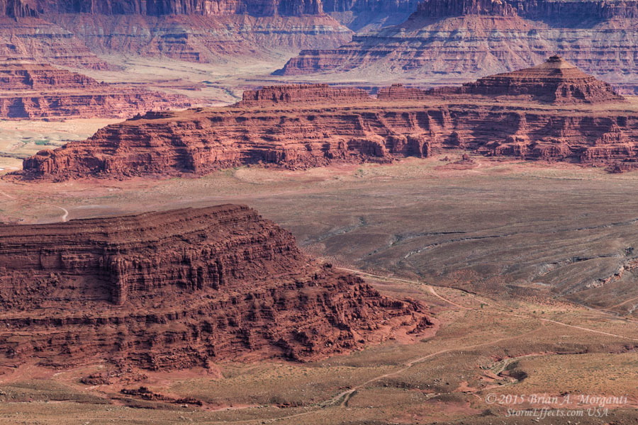
Canyon Basin - Deadhorse Point State Park: Rugged mesas rise above a smooth plain as viewed from near the Deadhorse Point State Park's visitor center. |


Canyonlands National Park - Utah
Horseshoe Canyon Pictographs - Utah
Colorado Aspen & Mountain Vistas